
Nov. 7 - 8: I hiked two more sections of the SCT. Of the 13 huts on the 178 km trail, I've now done: Hut #1, 5, 7, 9 & 12. Most of them are accessable as day hikes.


Phew. I tryed too late to reserve for the Horseshoe Bay - Langdale ferry. We made it on the 9:55am with only four vehicles behind us.

Hike #1: Fairview Bay -- 14.3 km / 776m gain / 100m high point / 4:35 hours MT
In the book: "105 Hikes in and around SW BC" it states that the elevation gain is only 95 km. Notice the different results on my GPS. This is because the book's elevation gains are not cumulative.

We hiked the very last section of the SCT, parking just right of the Saltery Bay ferry terminal.

It was 1:30pm by the time we got started. Would we make it back out before sunset?


Two km in and we got to this point.

Most of the trail followed alongside the coast.


Icelandic moss and a few arbutus trees.


Growth under the power lines.

BC Hydro pilons at Ahlstrom Point.


A decrepit bridge.


Fairview Bay Hut is the southern-most and only seaside hut on the SCT.


4:00pm, time to get going after a short 5 minute stop at the hut.


We hiked the last hour in the dark (with head-lights).
Hike #2: Walt Hill -- 22.5 km / 1293m gain / 1050m high / 8 hours MT
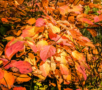
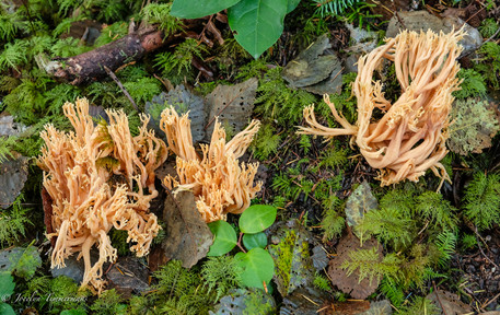
FSR roads run parallel to this trail. So why take the trail? Because then you can smell the fallen foliage, and shuffle through the bronze, gold and bright yellow maple leaves and see the sun beams reaching through tall trees. And the various toadstools, bubbling brooks and moss covered benches & bridges that are melding back into the forest. And massive stumps with tell-tale ancient ax-cuts, bird-song and lingering back-lit leaves with their brilliant autumn hues. Walking these trails keeps one more in tune with nature.

Parking at Dixon Rd, 12 km north of the ferry at 8:00am. This trail leads to where we'd hiked the day before. We went the opposite direction.

We started out on the Eagle River trail.

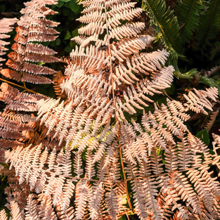
A patch of sword ferns still frosty from the freezing night.


We crossed five active logging roads. After crossing Goat Lake Mainline road, we were on the Smokey's Blue Ridge trail.


Smokey's Blue Ridge trail becomes Suicide Pass Trail which follows an old rail grade.

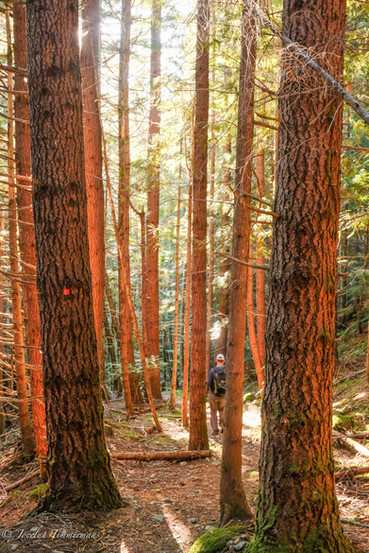
There was old growth forest in the last few km.

Then the trail turned into Ogma and soon the trail turns into Walt Hill trail. The last 2 km are a steady steep incline to the summit.


You can see the clear-cut behind these trees. The trail has been rerouted in several sections due to logging.

The first viewpoint close to the hut.

The Walt Hill Hut sits on top of Penstemon Bluff.


Just a hope & a skip from the cabin is this expansive viewpoint from north to east.


Views starting from the north and ending at the east. The eastern lakes of the Powell Forest Canoe Route are: Dodd, Horsesoe & Lois, nestled in the Horseshoe Valley. Towards the east you can see the highest peak on the SCT, Mt. Troubridge.

Love the soft winter sun.


Birch trees are not often seen in the forests.


Notice all the areas on the trail that have been rerouted due to logging.
Comentários