
June 9, 2021 -- Stats: 8,7 km / 664m gain / 1290m high / 3:55 hours MT
Would all five 4WDs make it to the higher trailhead, therefore cutting off 380m elevation gain + 1.5 hours hiking (half of which would be in forest and half on gravel road)? Would there be snow on that very steep slope past the lake? I hope no one forgot their micro-spikes. And would we find the paragliders route that I wanted to try because this hike would be shorter so this'd be a nice add on? If not that, then McDonald falls at the original lower trailhead? And without a full-sun weather day this week, would we get a view at the summit? These things went through my head as I prepared for the hike. 4X4ing + route-finding + snow climbing + bit of bush-whacking = exploring & adventure.

So far, so good. All 5 4WDs made it to the higher trailhead. We'd turned right onto Lost Murdo FSR off of Lost Creek Service Rd. Pass two lesser roads and watch out for the trailhead on the right. It's well flagged with a pullout & firepit to the left of the road.

In 25 minutes we were at McKay Lake. Snow is slower to disappear here because the high cliffs on the east side of the lake block the sun and the larger body of water keeps the temps down.

Skunk Cabbage lining the lake.


Not too far past the lake we crossed Murdo Creek.

And then we arrived at the base of THE steep slope. Time to put on those micro-spikes.

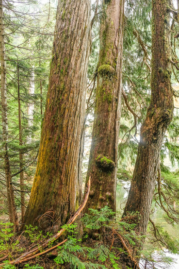
A few dry sections.

A bit of kick-stepping on sugar-snow. Usually I'm not in the front of the line but this day I was because I was one of the few who had done this hike before and I had the Garmin 66i. The latter was quite necessary because most of trail was buried under the snow.

A tight squeeze.

Phew. THE slope was behind us. Now we carried on on the north ridge, with the summit in sight.


Don kicking steps while I kept checking my GPS map. The summit beckoned us.

At the shrunken tarn that isn't so attractive under all the snow. But in the summer this tarn is surrounded by tall grasses and flowers. Here we soon began to wrap round to the east side of the summit.

In the "103 Hikes in SW BC" book, it warns that "The route is not obvious". Much more so when there's snow covering it. A handful of hikers got ahead of me, trying to find a way around this rocky outcropping. I would've turned left, but decided to stick together and follow them. This involved some bush-whacking. But six or half a dozen; we connected with the proper trail right above this section.

Looking south towards Vancouver Island.

Stave Lake -- west.

Davis Lake -- northwest.

Robie Reid was being shy.


Group shot of 18: left to right back: Denise, me, Liz, Dave, Bote, Don, Mark, Don, Case, Lorenz, Jan
front: Ling, Colleen, Poebe, Brigitte, Gary, Tracey & Irene

Going the correct way down.

Back at the tarn.


Back on THE slope.


And back at the lake.


Pic 1) Witchs' Butter. P-c 2) Bicycle chains used for this mini foot-bridge by the lake.


Pic 2) This photo was taken by Colleen McFadden.

A submerged firepit.

By the time we'd gotten back to the vehicles it was 3:00pm. The paragliders route had no longer been an option because of all the snow. Some wanted to do McDonald Falls afterwards but a few did not. So instead, two of our vehicles headed for Mission Springs. Don asked later, "When is our next Mission Springs hike???"

Davis Lake to the left. That blue flag is the lower trailhead. You can see how much we cut off of the route by driving to the higher trailhead.
Looks like I missed a good hike....I am glad you got that road out of the way with the four wheel drives.