
Dec. 29 - Stats: 8.7 km / 414m gain / 2:20 hours MT / 443m high point
What to do when the signs at the bottom of Mt. Seymour are telling us to "Turn back. Parking lot full." I should've known, it being Christmas holidays and all. But the days of sun are few and far between so we took a chance. Reservations would've helped. So we quickly created a Plan B. Since it was 1:30pm (we'd planned to do a sunset snowshoe), this limited our options. My All Trails App was showing me the nearby hikes so we decided to do this shorter loop, nestled in the suburbs of North Vancouver.

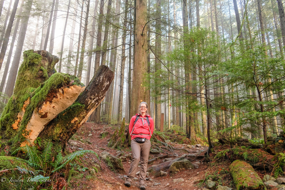
Soft winter sun beams filtering through the forest.


We shared these trails with many mountain bikers. But they were courteous and let us know when they were passing. We also found they were quick to offer help if we stopped to study our directions.

At the corner where we turned west onto the Baden Powell trail. This 48 km trail actually starts at Horseshoe Bay and ends at Deep Cove by Indian Arm.


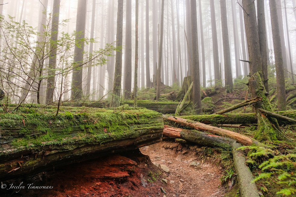
The BP trail was quite broad till this point, by the Christmas tree where it turned left onto a narrower trail and headed into denser darker forest.


When we rounded the corner from west to east, there were many boardwalks in the bog.


Ouch. When I read that sign I thought, "That's brutal!" As you can see on the map (last pic), there are numerous bikers' trails within the loop.


The sun was setting.

We did this loop counter-clockwise: Starting at the Old Buck trailhead (the blue flag), turning west at the corner onto Baden-Powell trail and then as it turned east, onto the Bridal Path trail.
Comments